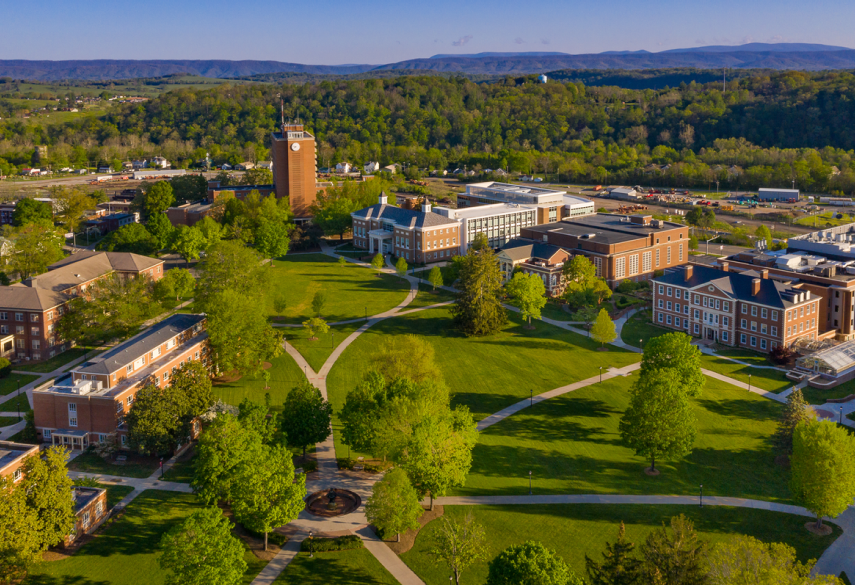
Geospatial Science

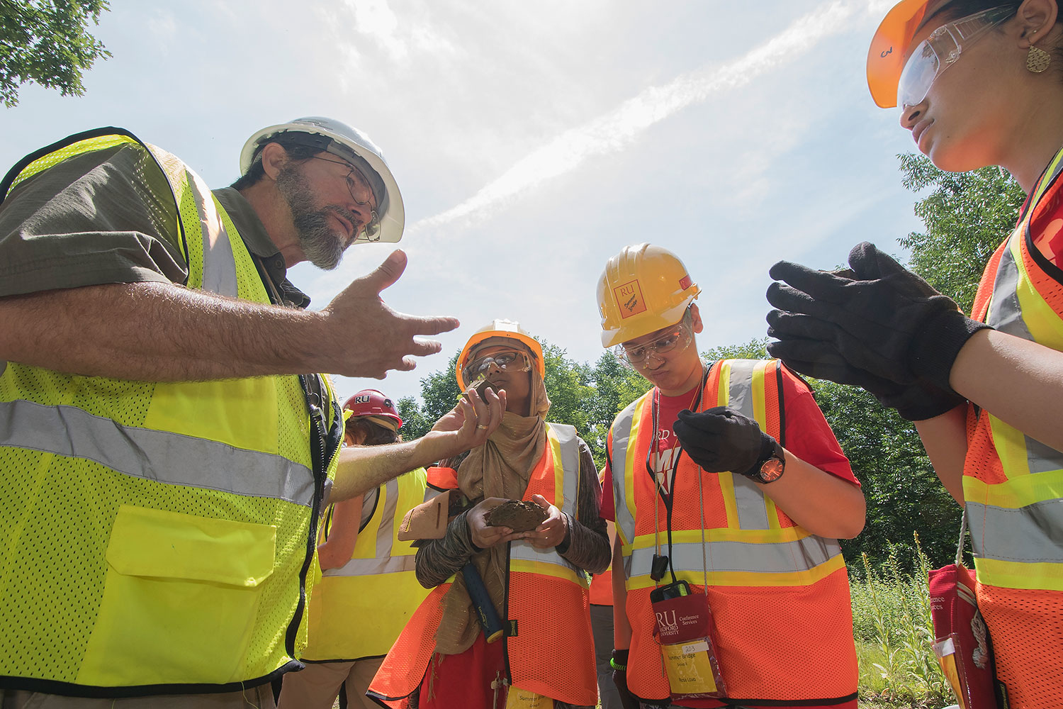
As a geospatial science student at Radford, you’ll use geography and information technology to understand the people, places, and processes of the earth. In Virginia’s only undergraduate geospatial science program, you’ll foster a more complete understanding of our world and empower smarter, data-driven decisions with a focus on environmental studies.

geospatial students in field

Why Study Geospatial Science at Radford?

  • We offer the only undergraduate geospatial science degree program in Virginia
  • Our program offers 2 concentrations to choose from
  • Undergraduates get access to state-of-the-art equipment (LiDAR, Unmanned Aerial Vehicles (UAVs), GPS, and other geospatial equipment
  • Some of our graduates work at NASA, NGA, Google, the EPA, and Northrup Grumman
  • All students are eligible for professional certifications

Careers and Internships

  • Our students have a wide range of geospatial and environmental job opportunities in both the public and private sectors.
  • Our students are top recruits for government agencies like the U.S. Forest Service and U.S. Geological Survey.
  • In the private sector, our students are successful in GIS Analyst positions in companies ranging from big tech companies like ESRI and Google to environmental engineering firms like Timmons Group and Control Point Associates.

Opportunities for Geospatial students at Radford

  • All students have the opportunity to engage in student-faculty research in the Virtual Reality Lab, GIS Center, and Tree Ring Laboratory.
  • Internship opportunities are available in both the public and private sectors, extending your learning outside the classroom.
  • Student organizations like the Green Team Environmental Club and Geospatial Science Club provide opportunities to get active on campus and in the community.
  • 80%

    of majors complete a research internship

  • 100%

    of students complete a senior capstone project

  • 100%

    of students gain hands-on learning experience
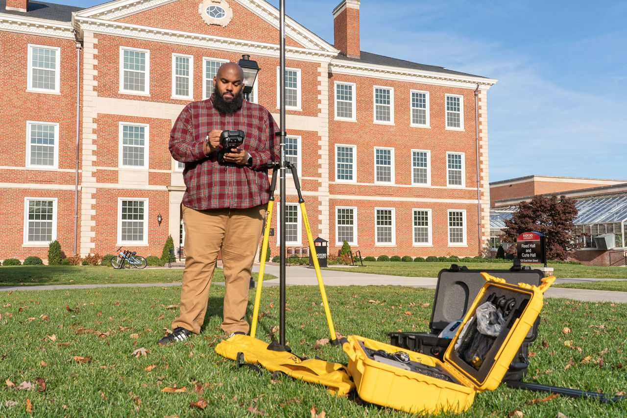
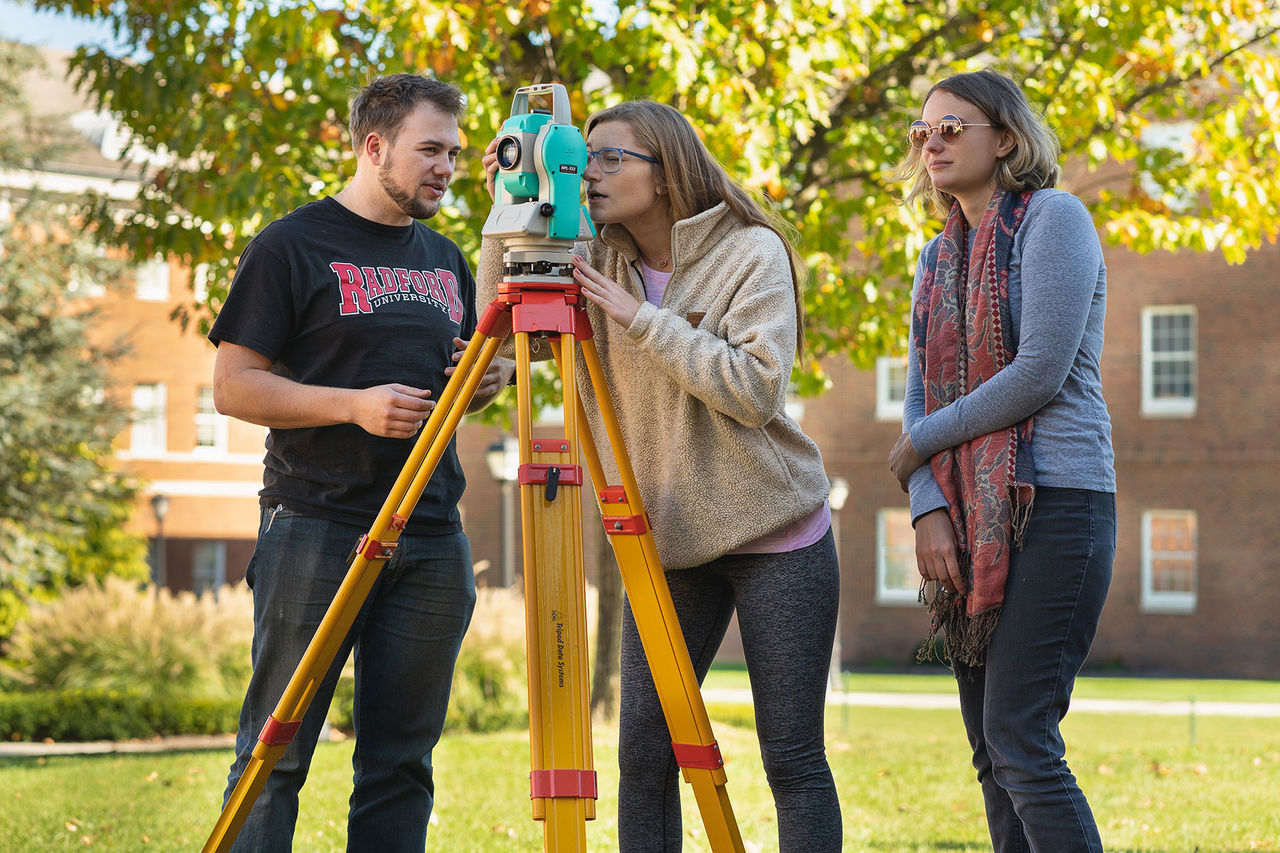
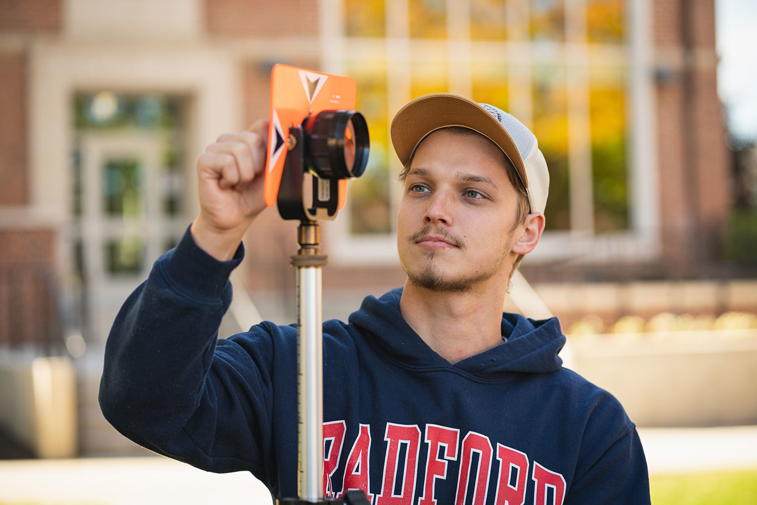
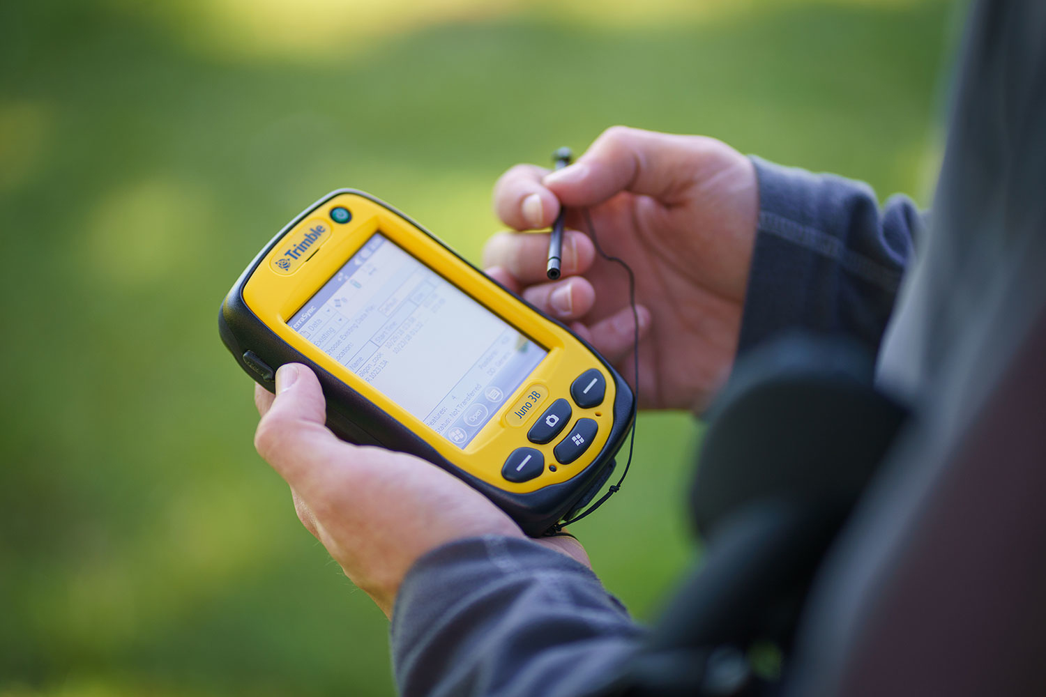
Students have the opportunity to conduct hands-on research with faculty members. For example, Stockton Maxwell, Ph.D., recruits students to conduct field research in both the Rocky Mountains and Peru!

geospatial student in field

“Faculty engagement with students in and out of the classroom is the foundation of what we do well at Radford University. In my experience, students who connect with faculty on research and scholarship projects are more likely to find their passion and build the skills needed to make it a reality. From a faculty perspective, student engagement and achievement is the currency of my career. Every young mind that I turn on is a point of pride because I have helped them overcome barriers and become successful scholars and citizens.”

Stockton Maxwell, Ph.D., associate professor of geospatial science

“I remember seeing Dr. Foy and Dr. Maxwell talk about the geospatial science department and their eye-opening experiences with their studies. I had no idea what geospatial science was at the time, but I wanted to do it, and it was the best choice I have ever made. Radford University’s geospatial science department helped me realize my own potential.”

Erin Rittenhouse ’22

We want to get to know you better and we are excited that you are ready to take your next step and learn more about us. We are here to help you and look forward to working with you during your college search process.