Radford University
Artis College of Science and Technology
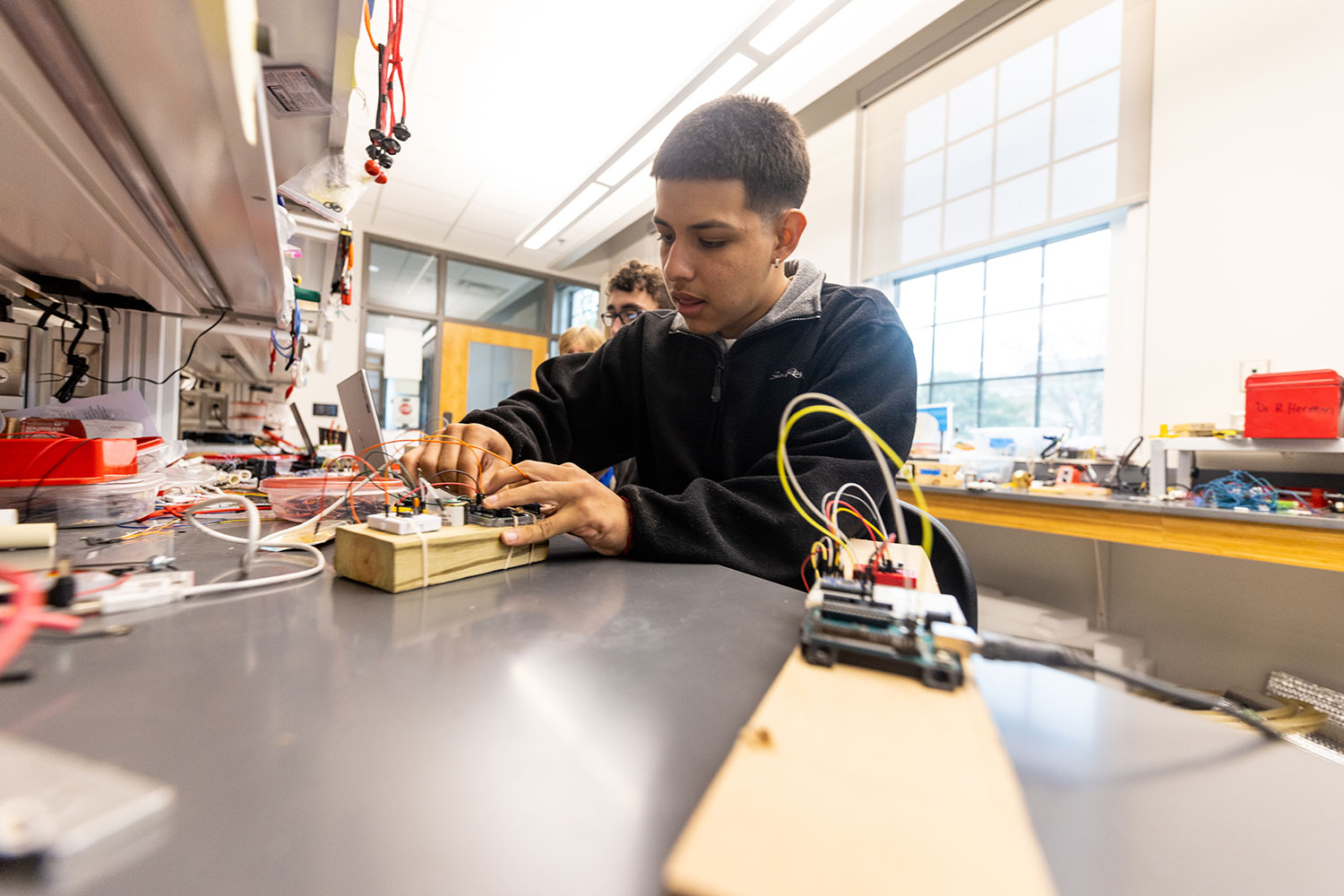
Innovation and Discovery
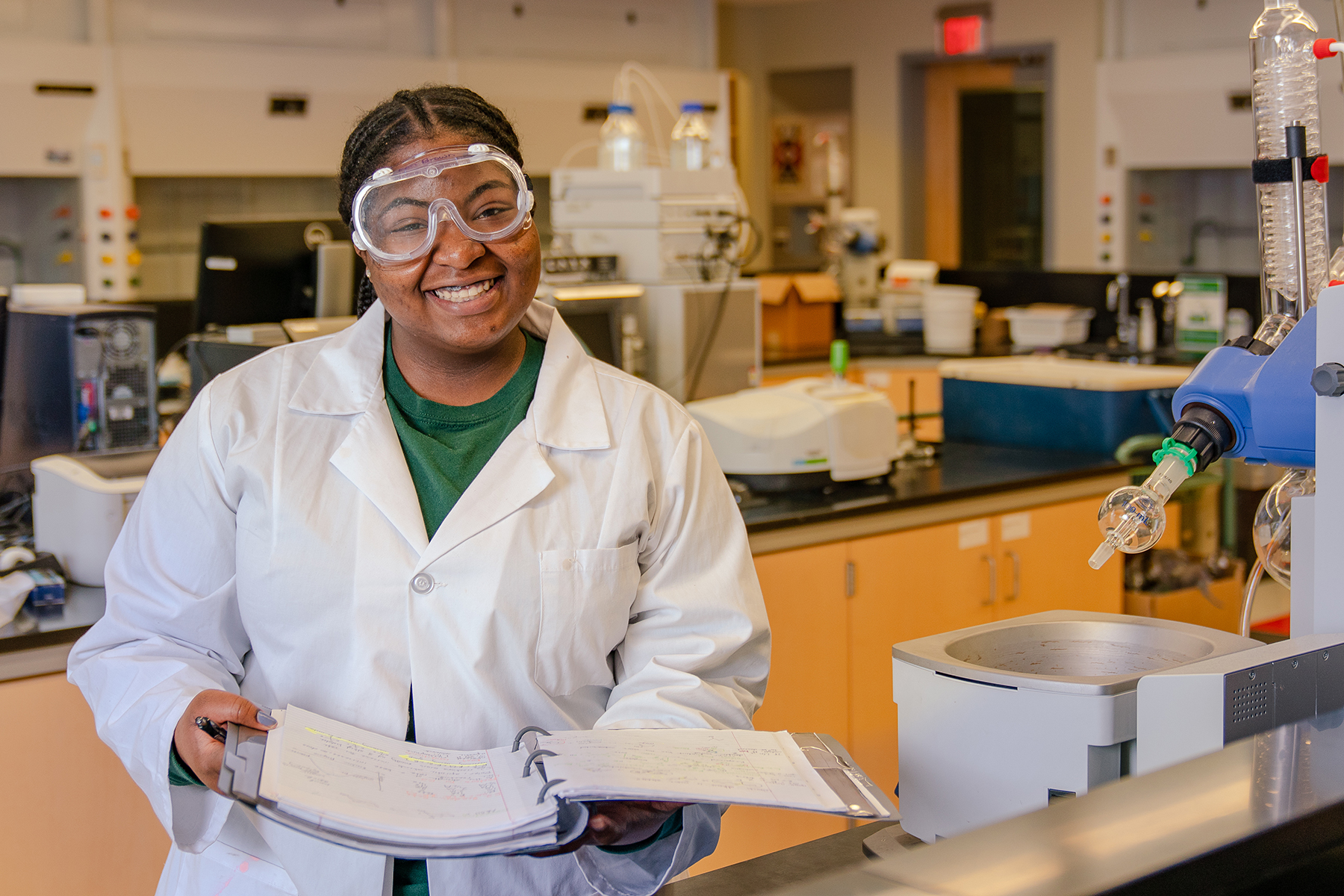
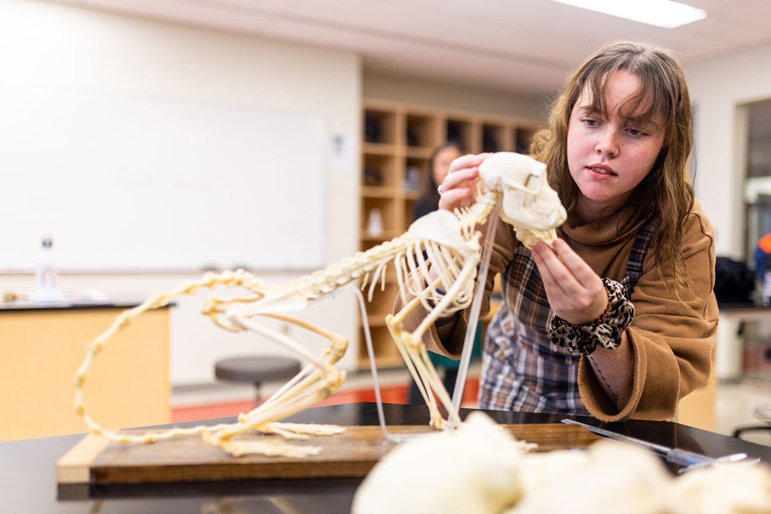
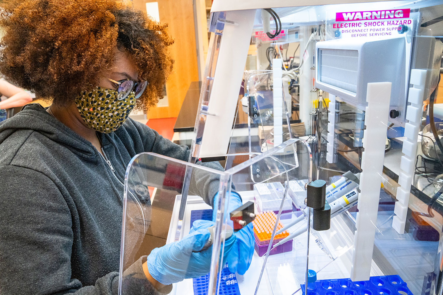
Breakthroughs in the science, technology, engineering and mathematics (STEM) fields are driving innovations that continuously transform our daily lives.
With this in mind, we prepare our students for successful careers in the STEM fields while actively engaging in real-world problem-solving.
Academic Programs and School

News
-
Highlander Highlights: Week of March 24, 2025
March 28, 2025
Highlander Highlights shares the extraordinary accomplishments happening on and off campus through the tireless work and curiosity of students and faculty.

-
Highlander Highlights: Week of March 10, 2025
March 14, 2025
Highlander Highlights shares the extraordinary accomplishments happening on and off campus through the tireless work and curiosity of students and faculty.
-
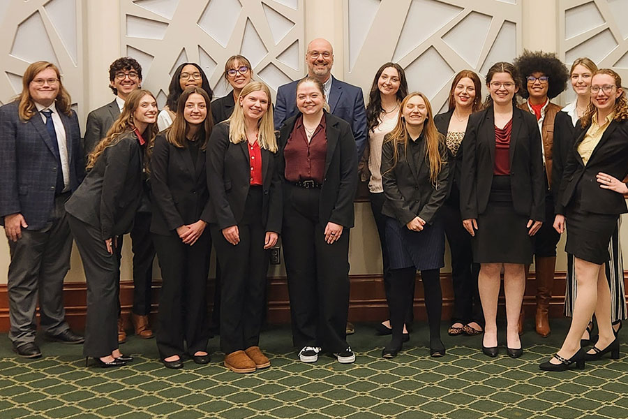
Mock Trial Team caps successful season, shines in regional competition, advances to national tournament
March 11, 2025
American Mock Trial Association